
The Settings panel provides quick access to map-related tools and display settings. Users can use options like Measure to calculate distance or area and Geofence to create and manage geofenced locations. Additionally, users can control map visibility settings by enabling or disabling options such as Show Label, Show Cluster, and Show Today Path, allowing them to customize how information is displayed on the map for better clarity and analysis.
To Get Started
-
Log in to your account.
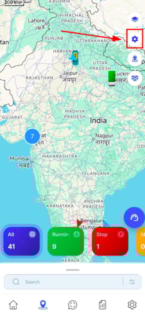
- Go to Live Tracking.
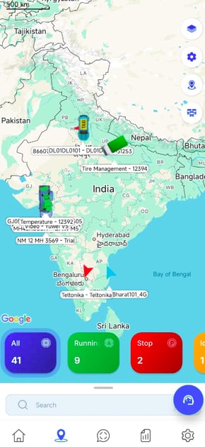
- When you are on the Live Tracking screen, the following interface will be displayed. Tap on the settings icon.
- The Pop-up will appear.
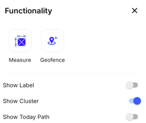
- The Pop-up will appear.
Please Note: The functionality have been explained below.
Area Measurement
-
From the Measure option, user can access the area measurement feature.
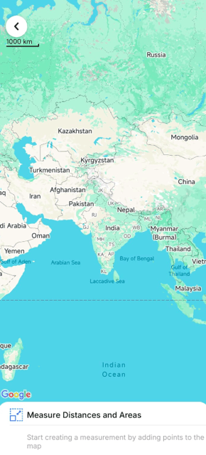
- Tap on the Map to draw points.
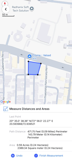
- Click on Finish Measurement. use will get the details for the selected area.
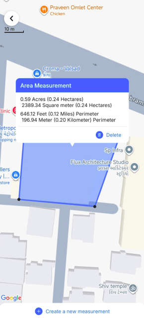
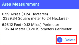
- To delete the measurement click on the Delete icon.
- Tap on the Map to draw points.
Geofence
- From the Geofence option, users can select the specific geofence they want to view on the live tracking screen.
- Tap on the Geofence option to open the geofence interface.
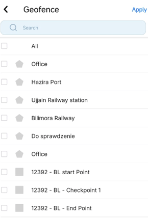
- users can view and select the geofences they want to display on the live tracking screen.

- Tap on the Geofence option to open the geofence interface.
Show Label
- The Show Label option allows users to display or hide the vehicle name and plate number on the Live Tracking screen.
- When Show Label is ON, the vehicle name and plate number are visible for all vehicles on the map, making identification easier.
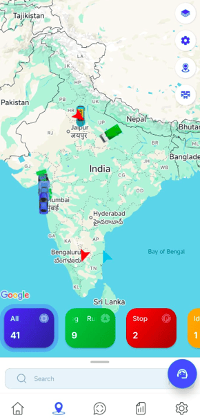
- When Show Label is OFF, the labels are hidden, providing a cleaner map view.
- When Show Label is ON, the vehicle name and plate number are visible for all vehicles on the map, making identification easier.
Show Cluster
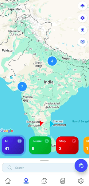
- The Cluster option allows users to view the number of vehicles in a specific area on the map instead of displaying individual vehicle icons.
- When Cluster is enabled, nearby vehicles are grouped together and shown as a single cluster with a count, making the map less crowded and easier to read.
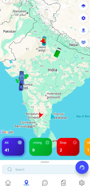
- When Cluster is disabled, all vehicles are displayed individually as separate icons on the map, allowing users to view each vehicle’s exact position without grouping.
- When Cluster is enabled, nearby vehicles are grouped together and shown as a single cluster with a count, making the map less crowded and easier to read.
Show Today Path
- By clicking on Show Today Path, the user can view the route taken by the object for the current day on the map.
- When Show Today Path is enabled, the complete path traveled by the object on that day is displayed on the map, helping users analyze movement and route history.
- When Show Today Path is disabled, the path is hidden, and only the current location of the object is shown.
- When Show Today Path is enabled, the complete path traveled by the object on that day is displayed on the map, helping users analyze movement and route history.